grid_view Show all photos
For Sale
$550,000
Est. $3,080/mo0 US Hwy 66/National Trails Hwy, Newberry Springs, CA 92365
bed
Bedrooms
bathtub
Bathrooms
square_foot
0
Square Feet
About this home
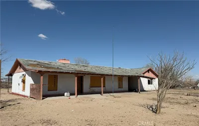
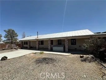
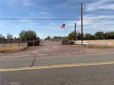
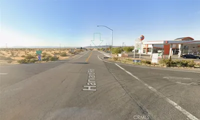
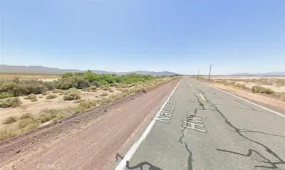
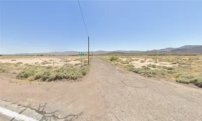
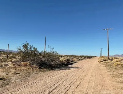
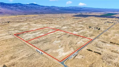
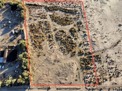
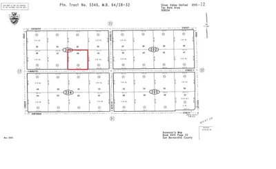
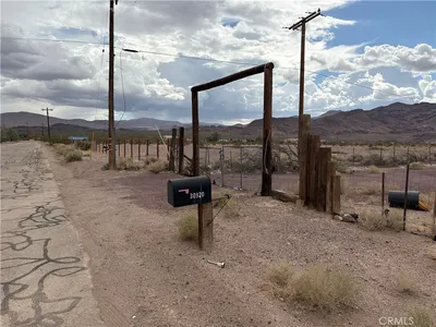
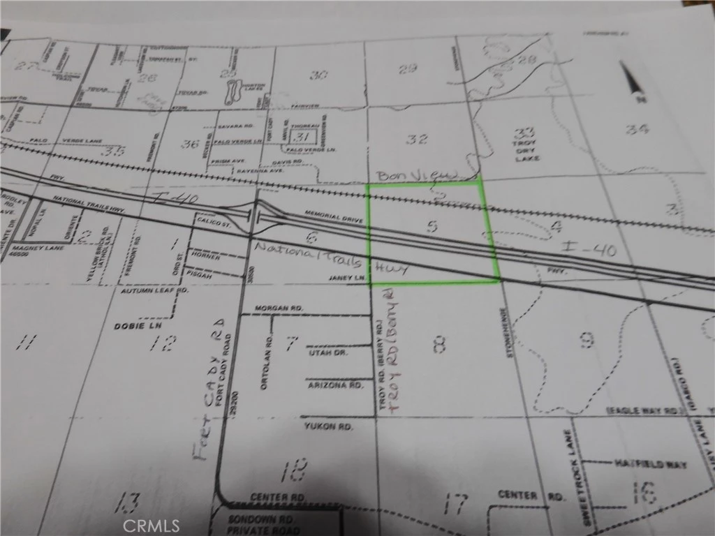
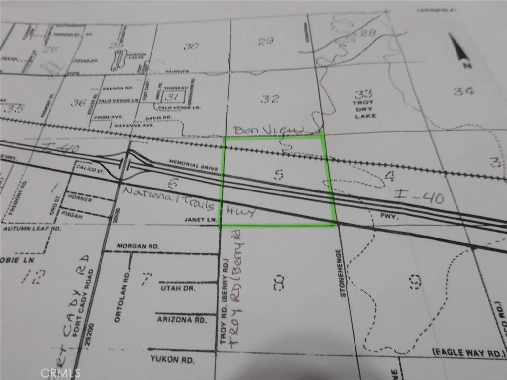
577.61 acres in Newberry Springs. It consists of 4 parcels, stacked on top of each other, that make up an entire Section of land minus the easements for US Hwy 66/National Trails Hwy, I-40, Memorial Drive & the railroad easements. All 4 of these parcels are 1 mile long from east to west. The most southerly parcel, APN 0529-151-09, is 27.26 acres. The north line of this parcel has frontage on the south side of US Hwy 66. It begins at Berry Rd (AKA Troy RD) and continues east 1 mile to Stonehenge Rd. The next parcel going north, APN 0529-151-08, is 129.51 acres. It also begins at Berry Rd (AKA Troy RD) and continues east 1 mile to Stonehenge Rd. It's the land between National Trails Hwy and Eastbound I-40. The next parcel going north, APN 0529-151-07, is 46.31 acres. It's the parcel between Westbound I-40 and Memorial Drive and is also 1 mile from east to west. And last but not least, the 4th parcel going north, APN 0529-151-06 is 373.53 acres. It has frontage on the north side of Memorial Drive and goes all the way north past the railroad to Bon View Ave. The NW corner of this parcel is at the SW corner Bonview Ave & Troy Rd. All 4 parcels together total 577.61 acres, allowing plenty of space & so many options. Solar farm, housing development, crops, livestock or all of the above could be achieved. Crops such as Pistachios, Apricots, Avocado, Peppers, Pomegranate & other crops do well in this area. Buyer to verify zoning & availability of electricity. Residents in the area use private wells, septic systems & propane as there are currently no public services for water, sewer or gas. Electric should be available all along US Hwy 66/National Trails Hwy. DIRECTIONS: From Barstow, take I-40 towards Needles. Take the Fort Cady Rd. Exit, get on US Hwy 66, continue east 1 mile to Troy Rd. (AKA Berry Rd). You will be at the approximate NW corner of the of the most southern parcel. Continue another mile east on Us Hwy 66 to the approximate NE corner of the most southern parcel. To view the parcels on the north side of I-40, go back to Fort Cady Rd, turn right right & cross over I-40, turn right on Memorial Drive and go 1 mile. The property will be on your right & on your left.
Property Facts
landscape
Lot Size
25,160,691.6 sqft
timer
Days on Market
100
payments
HOA Fee
N/A
fingerprint
MLS #
HD25265426
Interior Details
Parking
Exterior & Lot
Lot & Grounds
Lot Features
Horse Property, Irregular Lot, Paved, Rectangular Lot, Street Level
Community & HOA
Association Info
Community Features
Biking, Rural
Mortgage Calculator
Total Monthly
$0
Principal & Interest:
$0Property Tax:
$0Home Insurance:
$0HOA Fees:
$0$
$
%
Nearby Schools
| Rating | School Name | ||
|---|---|---|---|
| No school data available for this area. | |||
Convenience Score
Market Insights
92365|Newberry Springs
analytics
Estimated Value
Calculating...
trending_up0%vs. last year
202120222023202420252026
thermostat
Market Temperature
BalancedMarket
Supply and demand are well balanced
Seller'sBalancedBuyer's
Avg. Days on Market
30daysTypical Range
14-90 daysReady to Take the Next Step?
Get expert support from a local agent today.
call
(800)-330-9306Available 9AM - 7PM
Similar Homes You Might Like
Based on price, location, and features